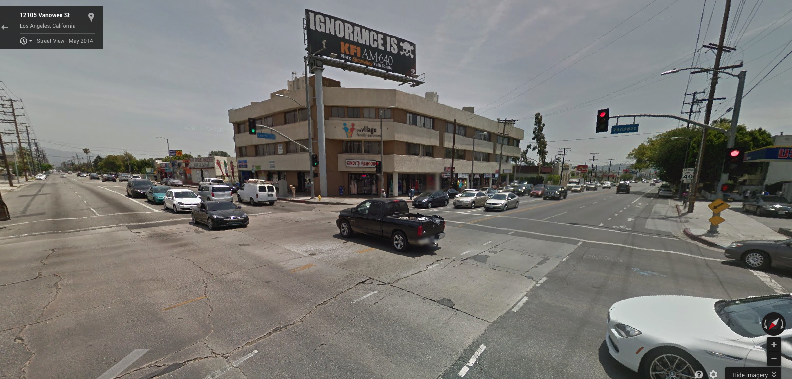
From the archives of USC comes these fascinating (Dick Whittington Studio) photos of Vanowen and Laurel Canyon Blvds. in 1931.
What might have become of the vast and verdant emptiness had it been developed with a plan, or a vision, beyond that of buyer and seller and developer?
It would be an intersection harmonious, civilized, aesthetic and humane.
Instead, it is today a monstrous urban carbuncle of cheap, ignorant, lowdown, poisonous ugliness; billboards, traffic, crime, and junk food bake under hot skies and treeless hell.
This lost place wears a name tag provided by the billboard: ignorance.
Andy, that picture you took really is quite good. You have managed to capture an image that calls out to it’s viewers and asks various questions in and of itself. My own curiosity is over where you were standing when you took said picture? It looks like you were standing in the street of oncoming traffic? Further, if it was a close up lens, the distance is not faded? And it’s not a “fish eye”, yet you have managed to capture all the activity on both major streets? This is most interesting? By now, your viewers all know my agreement with/and perhaps overzealous views of over-development in the Valley, so I’ll spare another tirade today… 😉 But the comparison photos are crying for you to exhibit them PRE-ELECTION” to reward those running for re-election on pro-growth issues…
LikeLike
Robert: the modern photo is taken from Google Maps. I didn’t take it.
LikeLike